Yangtze River
Overview
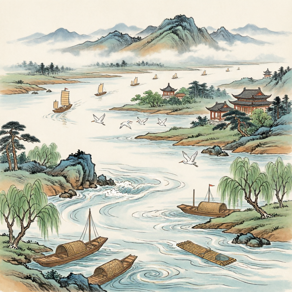
The Yangtze River, known in Chinese as Chang Jiang (长江), is the longest river in Asia and the third-longest in the world, spanning approximately 6,300 kilometers (3,917 miles). It flows across China from the glaciers on the Qinghai-Tibet Plateau in the west to the East China Sea in the east, draining one-fifth of China's land area and serving as the country's primary waterway. The river has played a crucial role in China's economic development, cultural evolution, and environmental landscape for millennia.
History
Geological Formation
The formation of the Yangtze River Basin spans hundreds of millions of years. Over 700 million years ago during the Proterozoic Eon, most of the Yangtze basin was submerged by seawater. By 200 million years ago during the Triassic period, the western part of the basin was still occupied by the ancient Tethys Sea (古地中海), which extended from the Tibetan Plateau to West Asia and Southern Europe.
Between 180-140 million years ago, during the late Triassic and Jurassic periods, the Indosinian and Yanshanian orogenies occurred, causing the uplift of the Kunlun Mountains, Hengduan Mountains, and Qinling Mountains. These geological events gradually transformed the basin from a marine environment to land, with the formation of fault basins and trough valleys.
The most significant transformation occurred 30-40 million years ago during the Eocene epoch, driven by the intense Himalayan movement. As the Indian Plate collided with the Eurasian Plate, the Tibetan Plateau uplifted dramatically, causing the ancient Tethys Sea to retreat westward. This event established the current west-high, east-low topography of the Yangtze basin.
Finally, around 3 million years ago, the rapid uplift of the Himalayas accelerated the headward erosion of the ancient Yangtze in western Hubei, which eventually cut through the Wushan Mountains and connected the eastern and western sections of the river, forming the modern Yangtze River system that flows into the East China Sea.
Key Information
| Characteristic | Details |
|---|---|
| Chinese Name | 长江 (Cháng Jiāng) |
| English Name | Yangtze River |
| Length | 6,363 km (3,917 mi) |
| Source | Glaciers on the Qinghai-Tibet Plateau |
| Mouth | East China Sea |
| Basin Area | 1.8 million km² (695,000 mi²) |
| Annual Discharge | 951.3 billion m³ |
| Countries | China |
| Provinces/Cities | Qinghai, Tibet, Sichuan, Yunnan, Chongqing, Hubei, Hunan, Jiangxi, Anhui, Jiangsu, Shanghai |
| Major Tributaries | Yalong River, Min River, Jialing River, Han River |
| Notable Features | Three Gorges Dam, Three Gorges (Qutang, Wu, Xiling) |
Cultural Significance
The Yangtze River has profoundly influenced Chinese civilization for thousands of years. Often referred to as the "Mother River" of China, it has been central to the development of agriculture, transportation, and culture in the region. The river basin is home to numerous archaeological sites, including the remains of ancient cultures such as the Ba and Shu civilizations.
In Chinese literature and art, the Yangtze River appears frequently as a symbol of natural beauty and historical significance. The famous poet Li Bai (李白) wrote extensively about the river, and many historical events have taken place along its banks, including numerous battles during various periods of Chinese history.
The river also holds religious significance, with numerous temples and shrines built along its banks. The Three Gorges region, in particular, has been a site of pilgrimage for centuries.
Modern Status
Today, the Yangtze River remains China's most important waterway, facilitating the transport of goods and supporting industrial development along its course. The Three Gorges Dam, the world's largest power station, has been constructed on the river, providing hydroelectric power and improving navigation while also creating environmental and social challenges.
The river basin supports a population of over 400 million people and accounts for approximately 40% of China's GDP. Major cities along the river, including Chongqing, Wuhan, Nanjing, and Shanghai, serve as economic centers for their respective regions.
However, the Yangtze faces significant environmental challenges, including water pollution, biodiversity loss, and the impacts of climate change. Conservation efforts are underway to protect the river's ecosystem and ensure sustainable development.
Modern Challenges
-
Water Pollution: Industrial discharge, agricultural runoff, and domestic waste have contributed to water quality issues in the river.
-
Biodiversity Loss: The river is home to several endangered species, including the Yangtze finless porpoise and Chinese sturgeon, which face threats from habitat degradation and pollution.
-
Climate Change: Rising temperatures and changing precipitation patterns affect water flow and increase the risk of both floods and droughts.
-
Sediment Management: The construction of dams has altered the natural sediment flow, affecting downstream ecosystems and coastal areas.
References
-
Chen, J., Wang, F., & Finlayson, B. (2014). The Yangtze River: An introduction. Geomorphology, 209, 1-3.
-
Li, L., Zhang, Q., & Yao, J. (2017). Historical changes in the middle Yangtze River channel and their impacts on flood vulnerability. Journal of Hydrology, 547, 569-581.
-
Wang, H., Yang, Z., Saito, Y., Liu, J. P., & Sun, X. (2007). Stepwise decreases of the Huanghe (Yellow River) sediment load (1950-2005): Impacts of climate change and human activities. Global and Planetary Change, 57(3-4), 331-354.
-
Yang, S. L., Milliman, J. D., Li, P., & Xu, K. (2011). 50,000 dams later: Erosion of the Yangtze River and its delta. Global and Planetary Change, 75(3-4), 227-233.